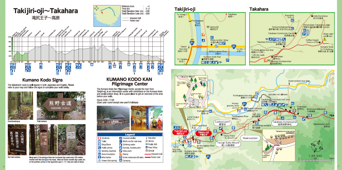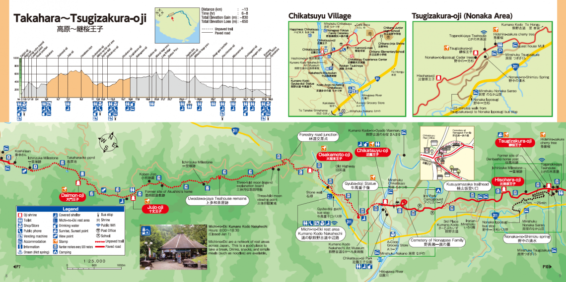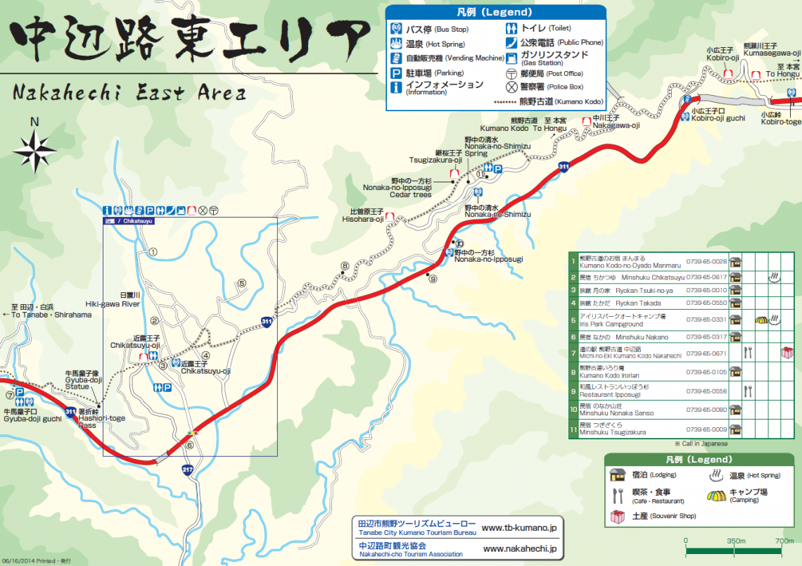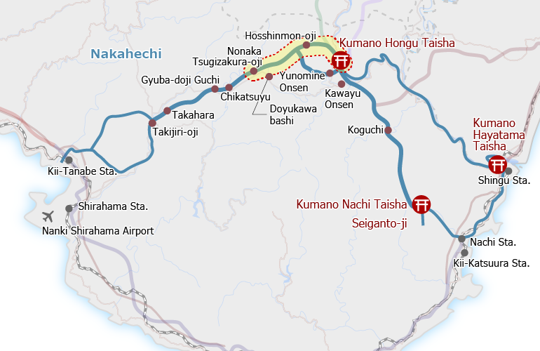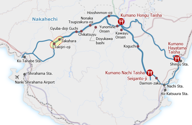
Overview
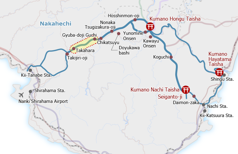
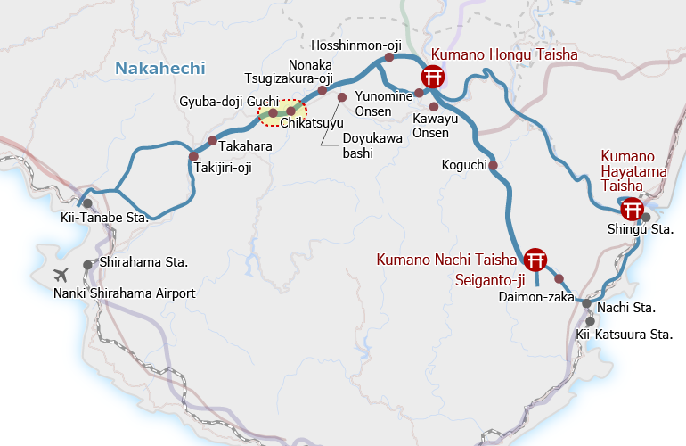
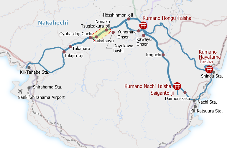
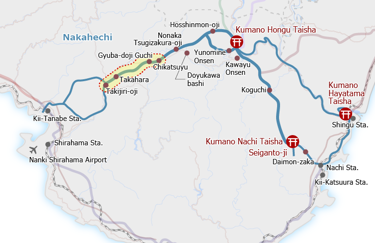
This one-day hike begins at the Takijiri-oji shrine beside the Tonda River and follows a mountain trail passing through Takahara and Chikatsuyu village to Tsugizakura-oji. The route has some steep inclines and downhill slopes on uneven surfaces. There are paved sections in the village of Takahara and from Chikatsuyu village to Tsugizakura-oji.
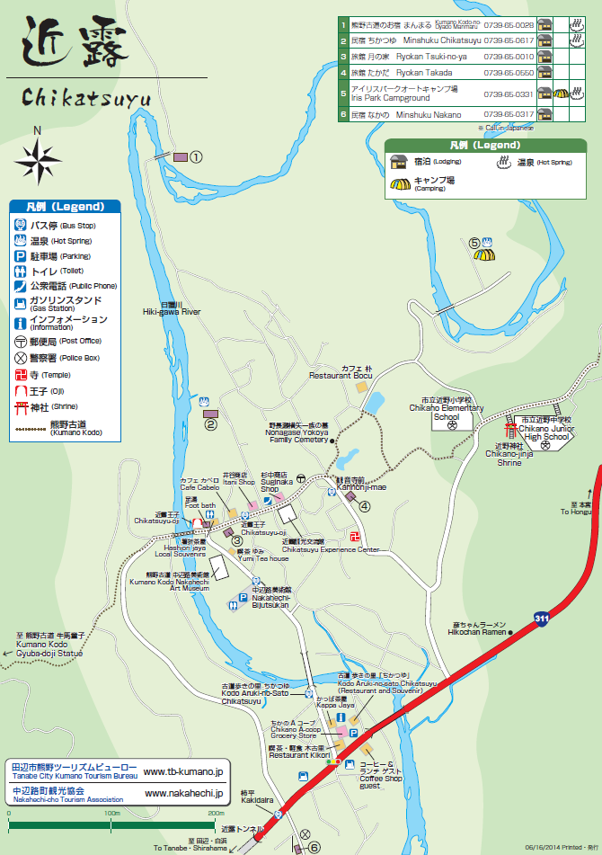
This is a popular starting day for multi-day walks on the Nakahechi section of the Kumano Kodo pilgrimage route. It is also possible to break this walk into smaller sections. The Gyuba-doji-guchi to Chikatsuyu-oji and Chikatsuyu-oji to Tsugizakura-oji courses are common, short, easy walks. The Kodo Aruki-no-Sato Chikatsuyu facility in Nakahechi has a shuttle bus service for these sections.
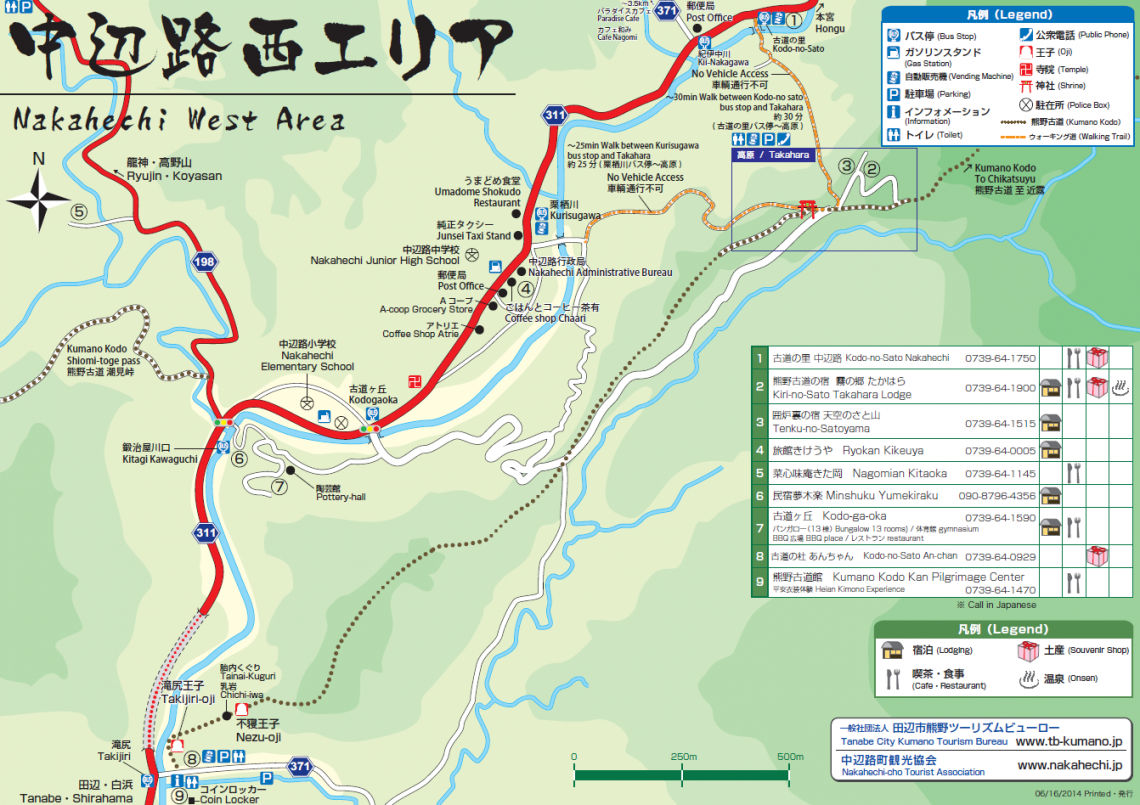
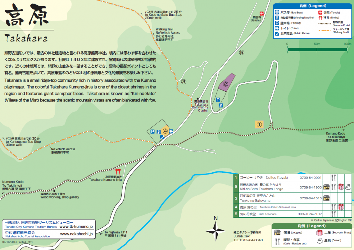
There are restaurants in Kiri-no-Sato Takahara Lodge, Kumano Kodo Nakahechi Michi-no-Eki Rest Stop, and in Chikatsuyu, but most walkers opt to bring a lunch with them to eat along the trail. The Kumano Kodo Kan Pilgrimage Center is located at Takijiri-oji and has some introductory exhibitions about the route.
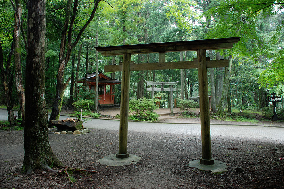
Takijiri-oji 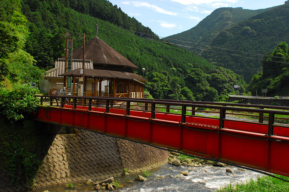
Kumano Kodo Kan 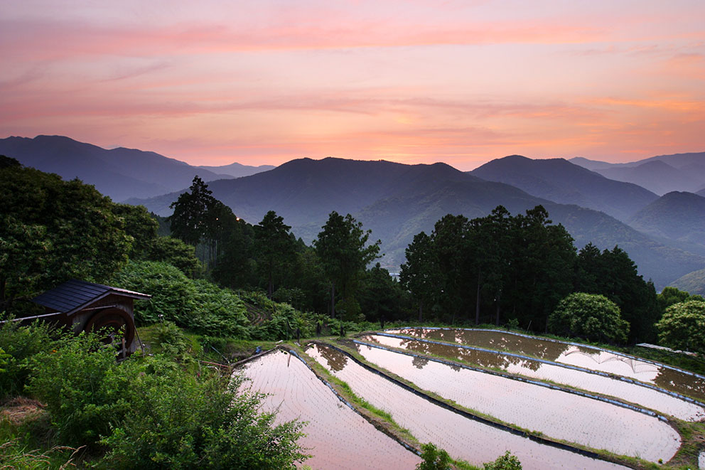
Takahara 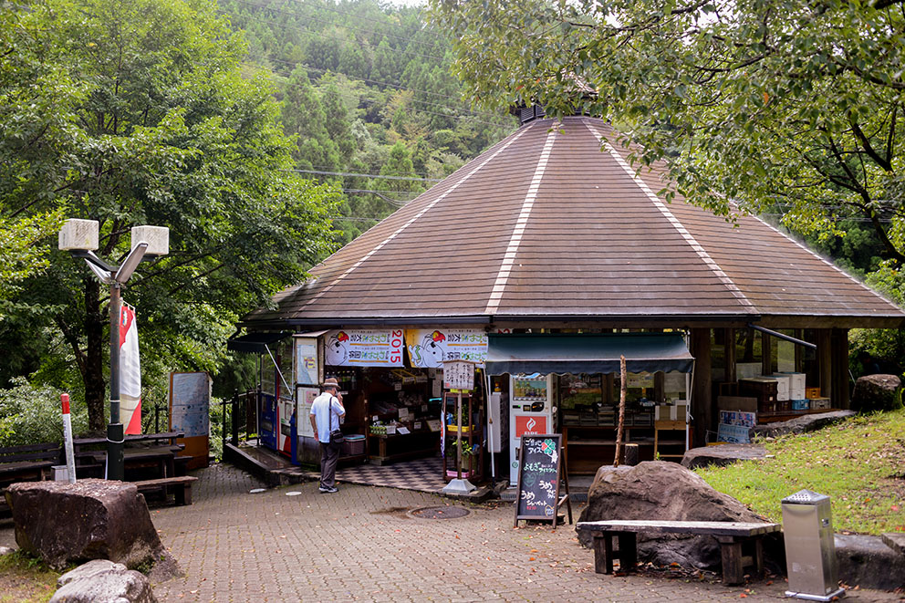
Michi-no-Eki rest area 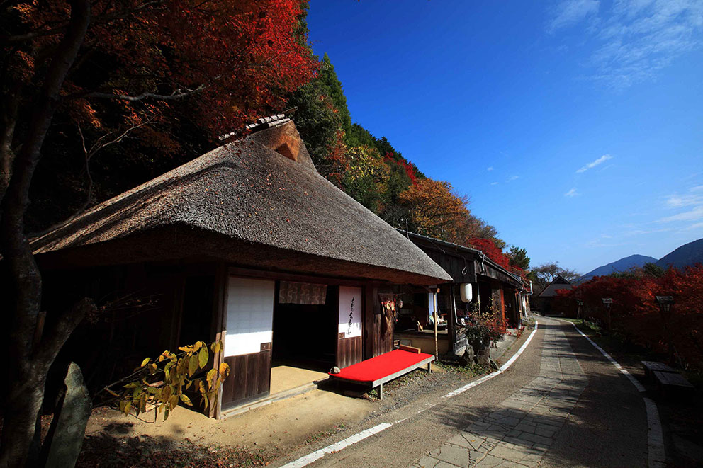
Toganoki-jaya Teahouse 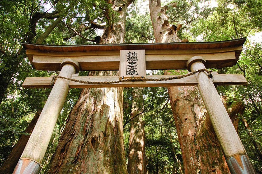
Tsugizakura-oji
Course Data
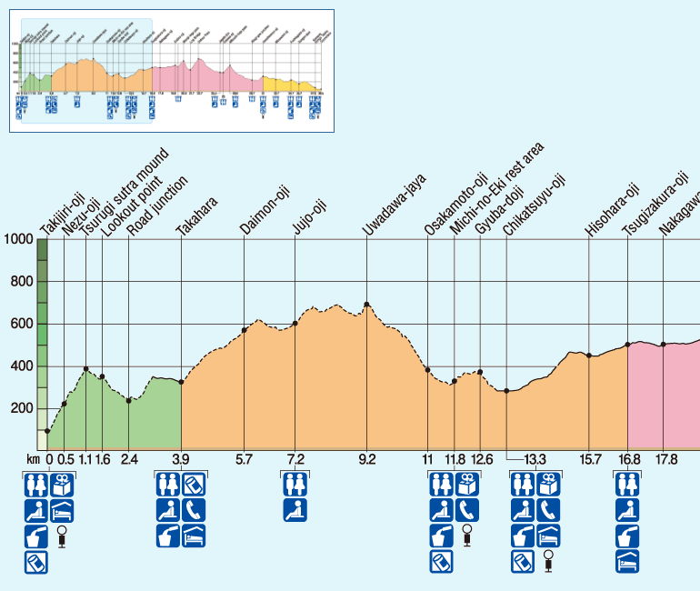
| Distance | ~17 km (~10.6 mi) |
| Time | 7~10 hrs ※Walking times vary. Please plan accordingly. |
| Difficulty Rating | 4 What is difficulty rating? |
| Total Elevation Gain | ~1260 m (~4100 ft) |
| Total Elevation Loss | ~850 m (~2800 ft) |
| Access | Bus Timetable . Buses run from Kii-Tanabe and Shirahama to Chikatsuyu. Bus Timetable #1 (Eastbound), Bus Timetable #2 (Westbound). There are no buses directly to/from Tsugizakura. The nearest bus stop is at Nonaka Ipposugi on Highway #311 (~ 20-minute walk to Tsugizakura). |
| Nearest Bus Stop | Takijiri (Start), Nonaka Ipposugi (Finish) |