Overview
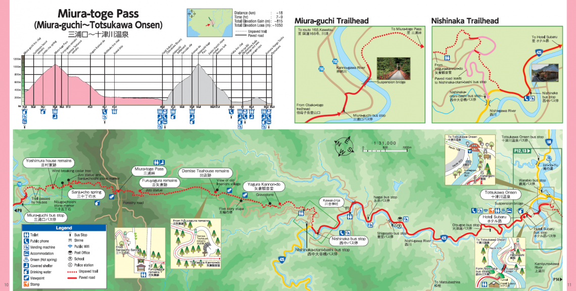
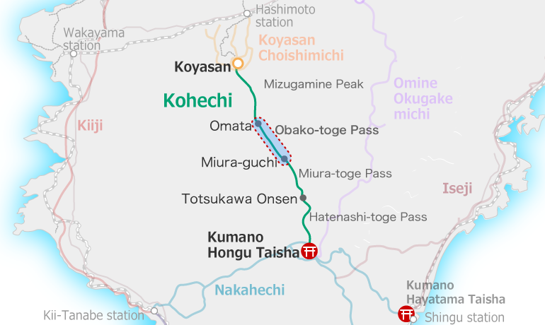
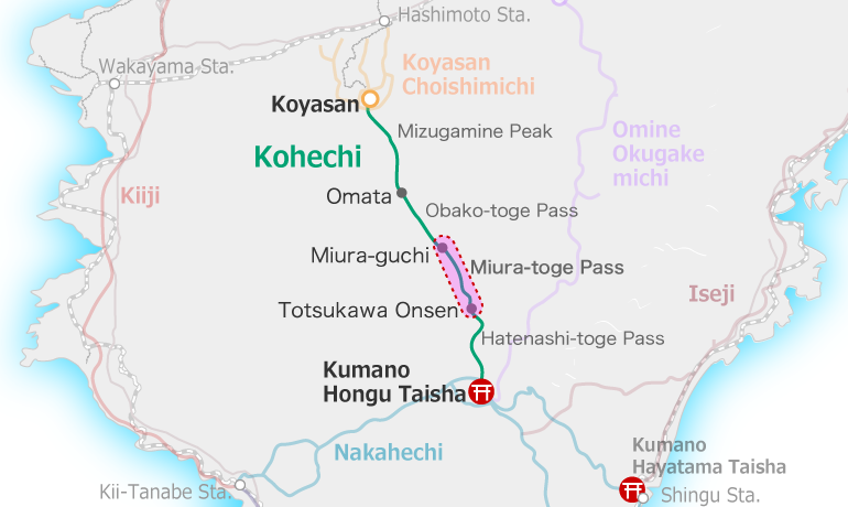
Miura-guchi to Totsukawa Onsen
From Miura-guchi bus stop the trail threads by some buildings to a metal suspension bridge across the river. From here it is a steady and constant climb to the pass.
The first 10 km is a mountain trail up and over the Miura-toge Pass. The last 8 km are on Route 425 parallel to the Nishi-gawa River to Totsukawa Onsen.
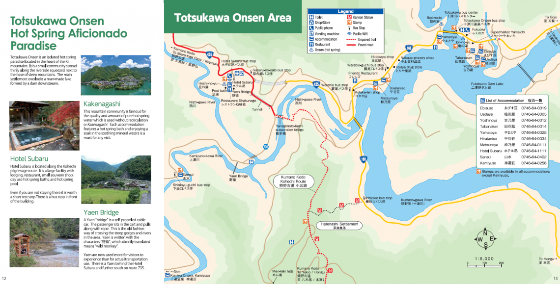
Hotel Subaru is accommodation along the trail with hot spring onsen baths available for day use.
It is about 2 km farther to the central area of Totsukawa Onsen. Totsukawa Village spreads along the coast of a man-made lake.
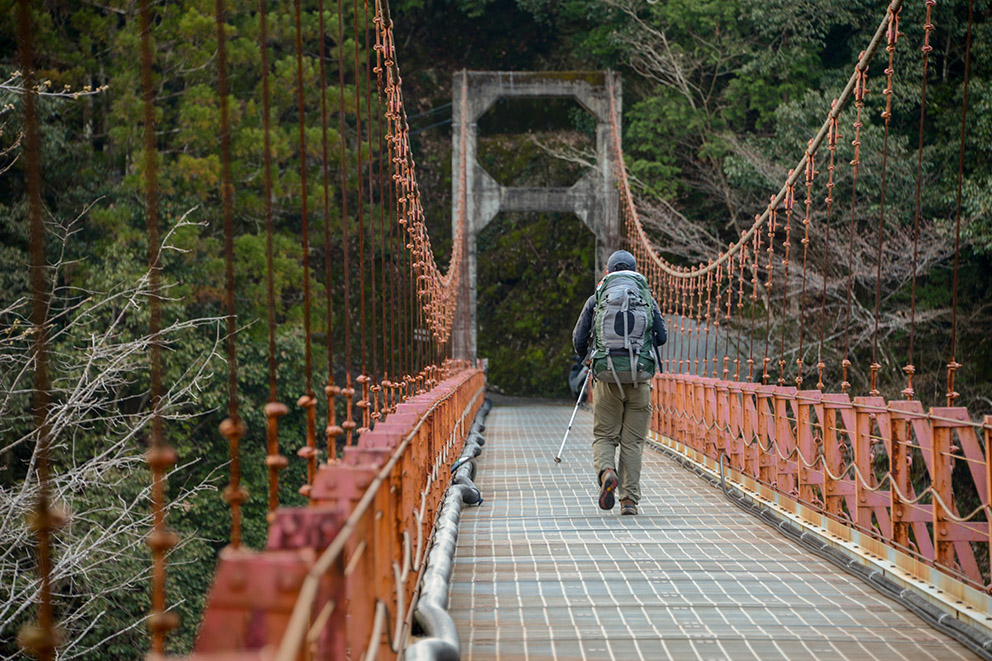
Miura-guchi suspension bridge 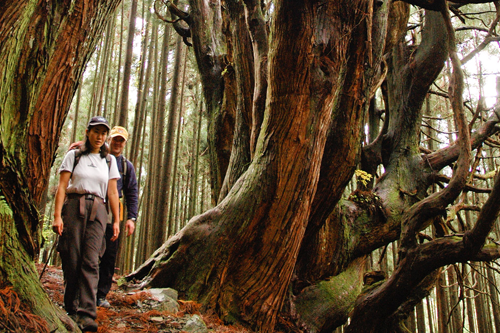
Miura-toge Pass hikers 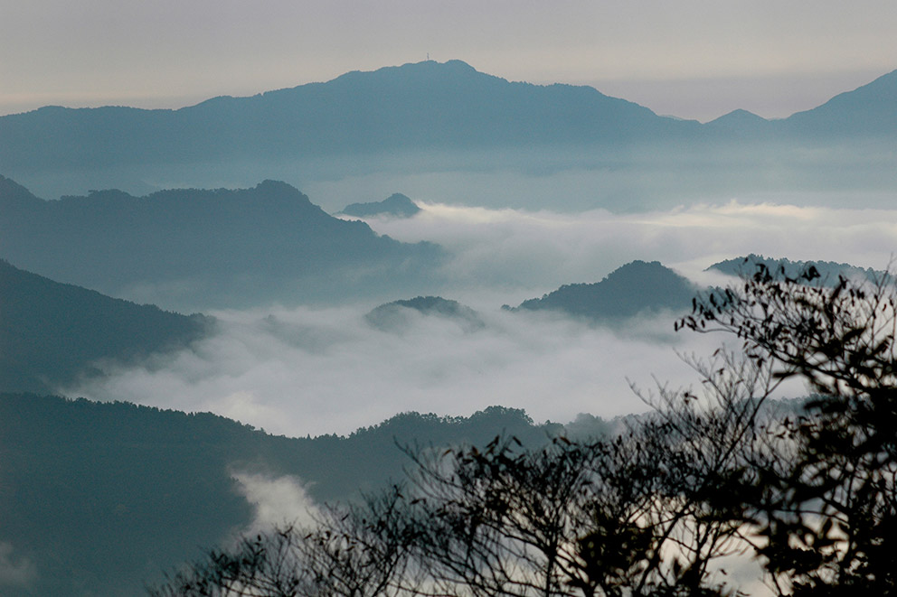
View from Miura-toge 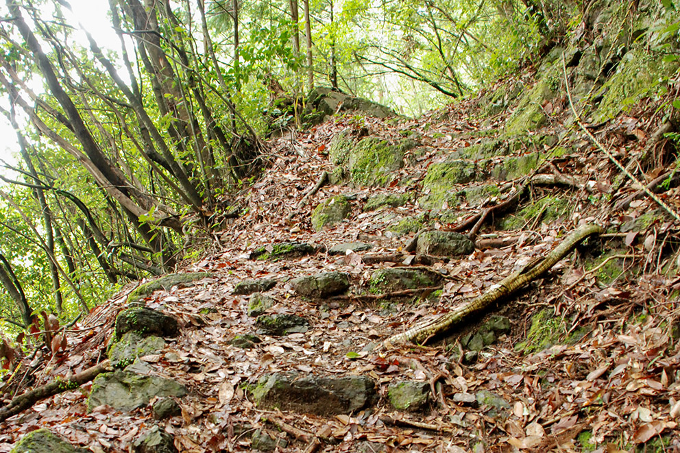
Miura-toge trail 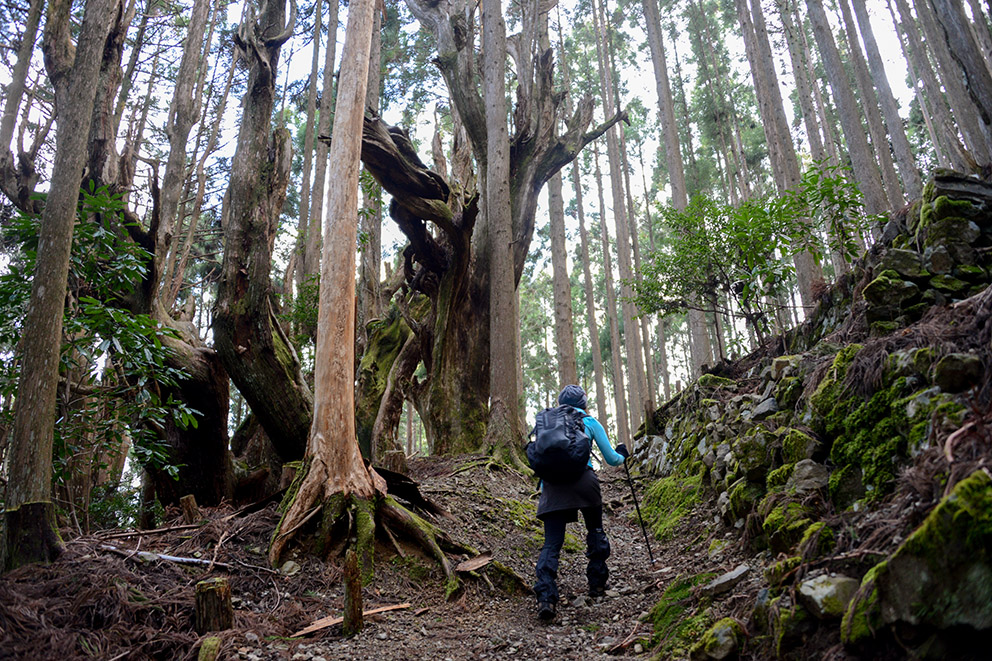
Challenging slope 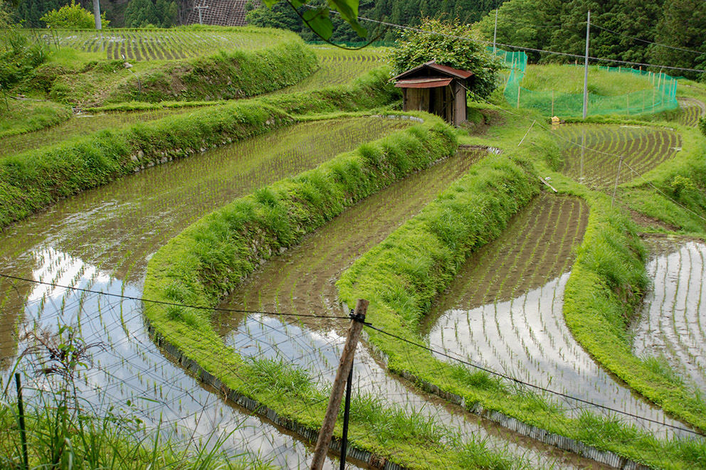
Rice fields along Kohechi
Course Data
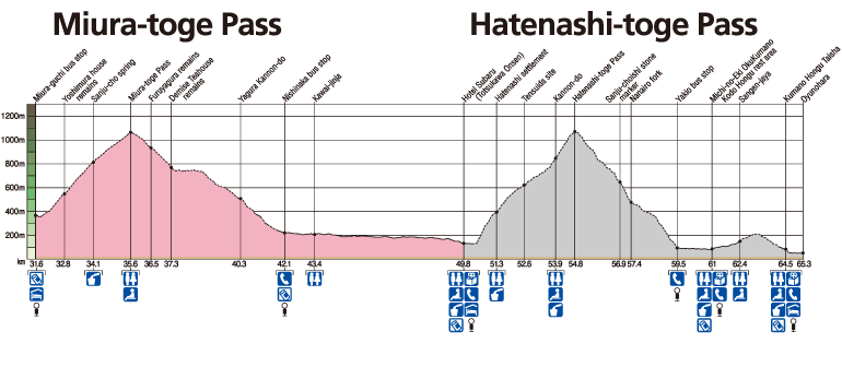
| Distance | ~18 km (~11.2 mi) |
| Time | 7~9 hrs ※Walking times vary. Please plan accordingly. |
| Difficulty Rating | 4.5 What is difficulty rating? |
| Total Elevation Gain | ~815 m (~2700 ft) |
| Total Elevation Loss | ~1050 m (~3400 ft) |
| Access | The Kohechi is a remote mountainous trail with only irregular community buses operating between villages. Those hiking the Kohechi route should be fit and well enough prepared to be able to walk the distances between villages each day. |