Overview
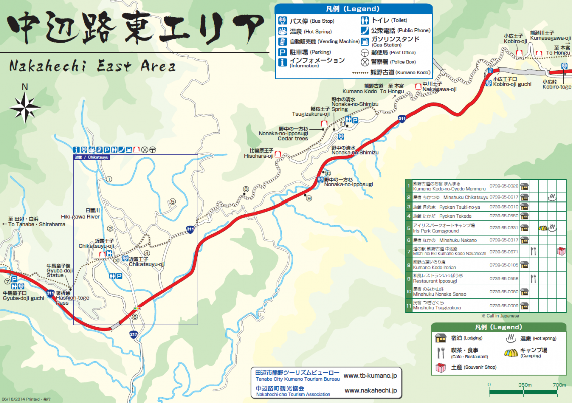
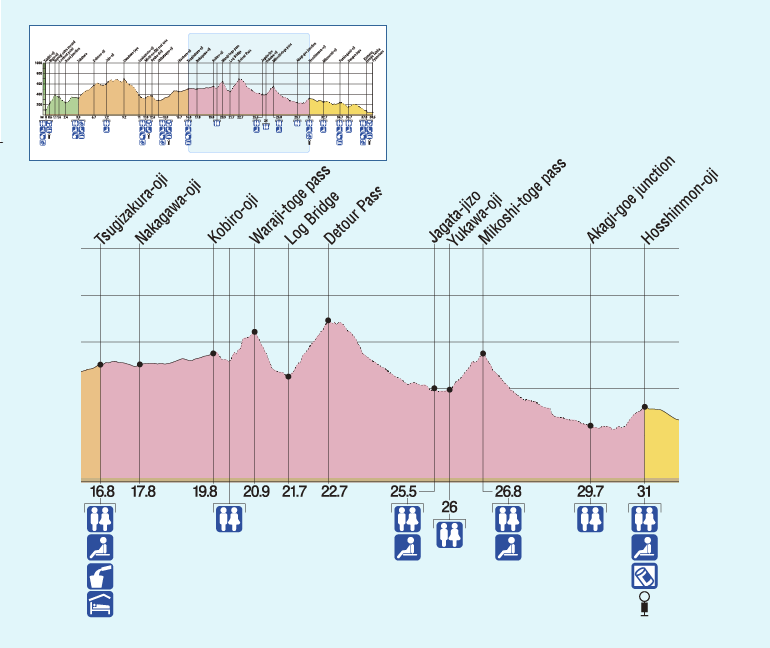
The Kumano Kodo follows the old highway from Tsugizakura-oji to Kobiro-toge Pass. Here the trail enters the forest, climbing and descending a series of passes, the first being Waraji-toge Pass.
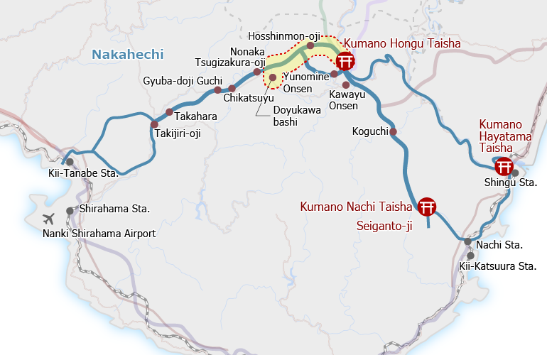
The trail used to descend the Me-zaka (“female slope”), passed by the remains of the Nakodo-jaya (“match-maker teahouse”), and climbed the O-zaka (“male slope”) to Iwagami-oji (elevation: ~650 meters), once the highest point on this section of the route. But since recent damage to the trail, there is a ~4 km detour from the forestry road junction east of Sign Post No. 43 to Jagata Jizo, south of the main pilgrimage route leading over the Iwagami-toge Pass.
The statue of Jagata Jizo protects travelers from evil fatigue-inducing spirits. The trail from there then crosses over a small bridge to the remains of the Yukawa settlement before climbing up to Mikoshi-toge Pass.
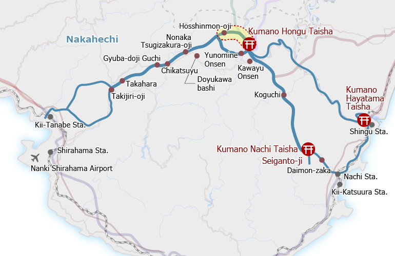
A long descent brings pilgrims to the junction for the Akagi-goe Route, which heads to Yunomine Onsen. For others, it is another 25 minutes from here to Hosshinmon-oji.
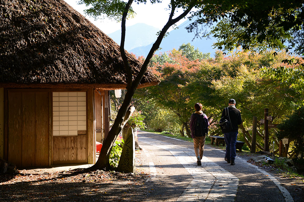
Walkers at Tsugizakura-oji 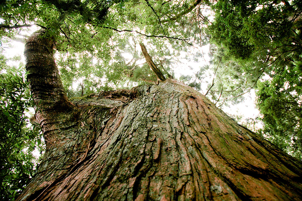
Giant cedars of Tsugizakura-oji 
Misty Kii Mountains 
Rural village 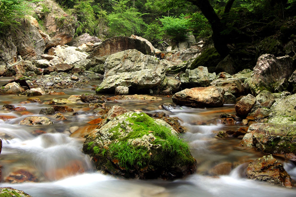
Mountain stream 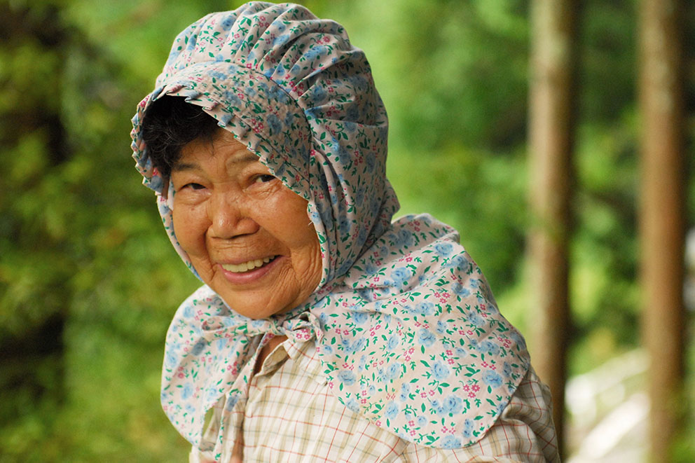
Warm, local people
Course Data
| Distance | ~14 km (~9 mi) |
| Time | 6~8 hrs ※Walking times vary. Please plan accordingly. |
| Difficulty Rating | 3 What is difficulty rating? |
| Total Elevation Gain | ~780 m (~2550 ft) |
| Total Elevation Loss | ~980 m (~3200 ft) |
| Access | Bus Timetable Buses run from Kii-Tanabe and Shirahama to Nonaka Ipposugi bus stop (a 30-min walk to Tsugizakura-oji from the bus stop): Bus Timetable #1 (Eastbound), Bus Timetable #2 (Westbound). Hosshinmon-oji is the last stop on this bus route, which starts in Tanabe and goes through Yunomine Onsen and Kawayu Onsen: Bus Timetable #6. If catching the last bus from Hosshinmon-oji to the Hongu area, be aware of the last departure time. Note: the bus stop is ~300 m east of Hosshinmon-oji at the Hosshinmon-oji rest area. |
| Nearest Bus Stop | Nonaka Ipposugi (Start), Hosshinmon-oji (Finish) |
Accommodations
Note regarding Accommodation at Hosshinmon-oji
There are no accommodations at Hosshinmon-oji. It is important to plan carefully to be able to catch the bus at Hosshinmon-oji rest area if necessary to the Hongu (Kawayu / Wataze / Yunomine) area or Tanabe.
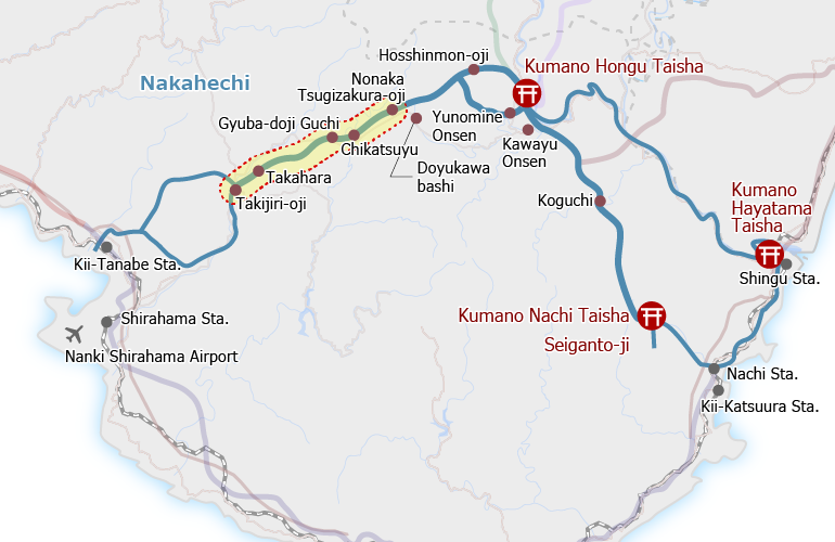
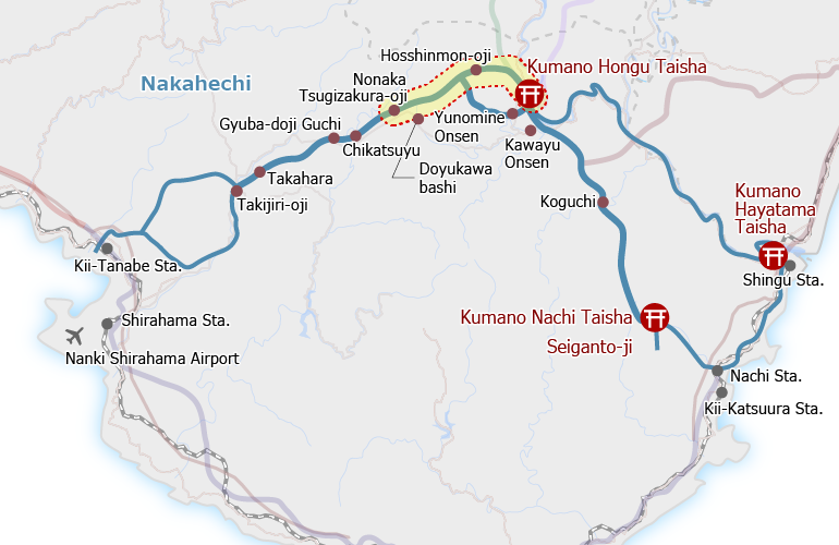
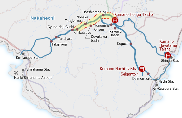
Route Maps
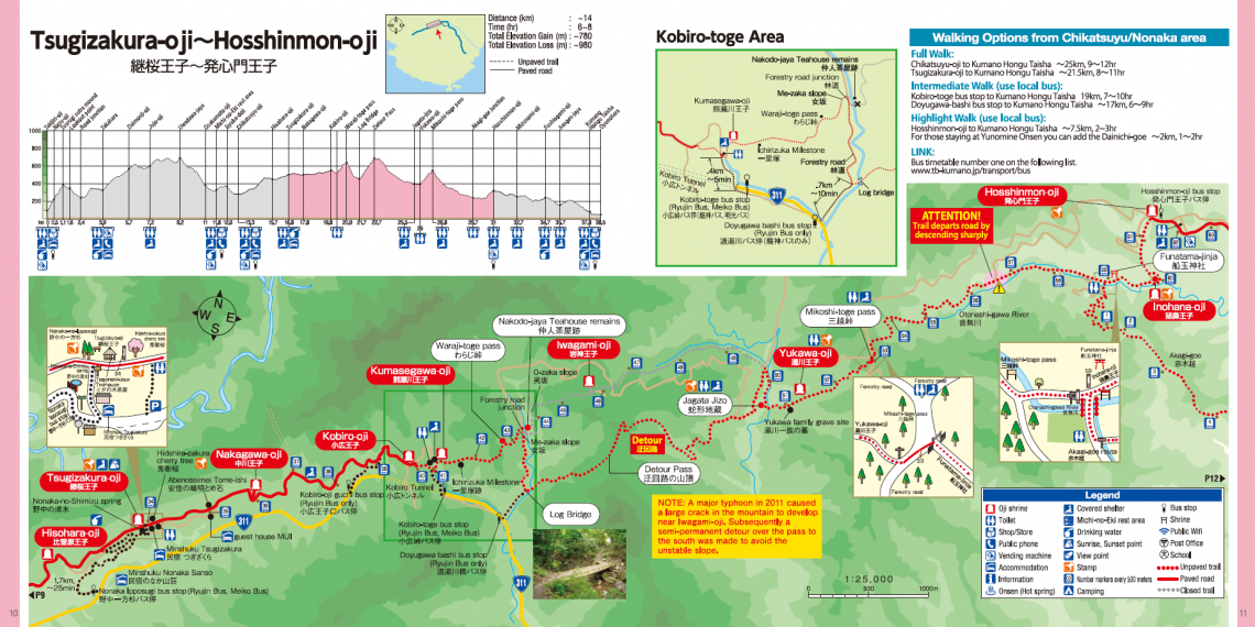
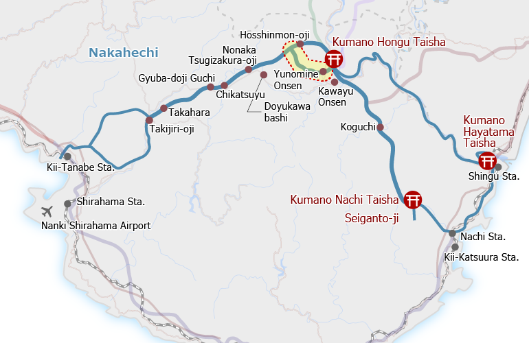
Detour
Because of trail damage, there is a ~4 km detour from the forestry road junction east of Sign Post No. 43 to Jagata Jizo, south of the main pilgrimage route. The trail follows a forestry road for a short time (to Log Bridge noted on the Route Map) before climbing over the Iwagami-toge pass (~650 meters elevation). The trail then descends to the Jagata Jizo following another forestry road for part of the way.