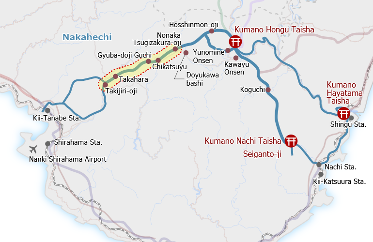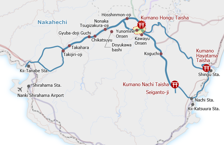
Overview
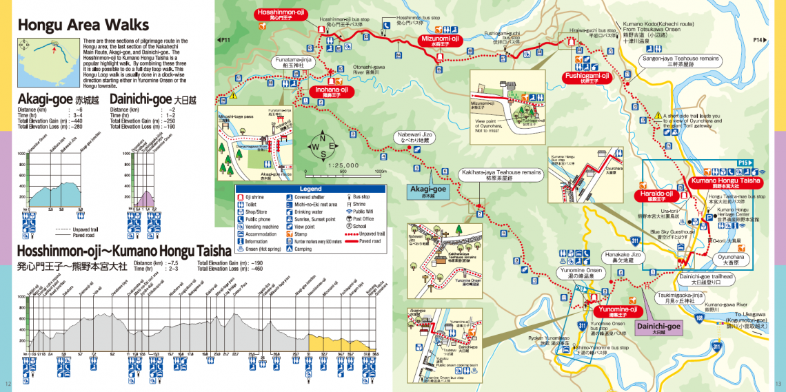
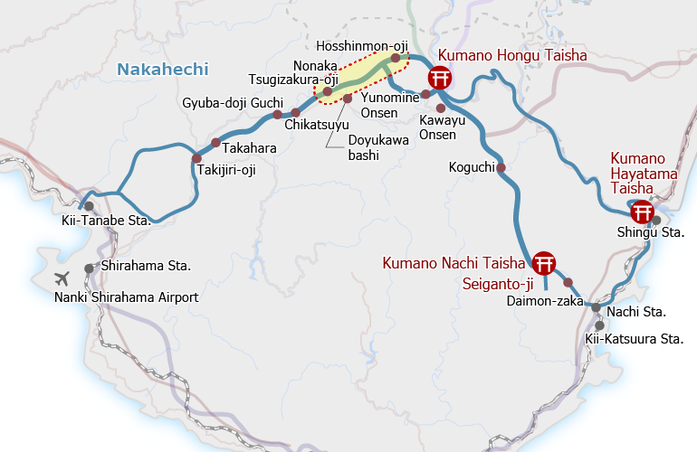
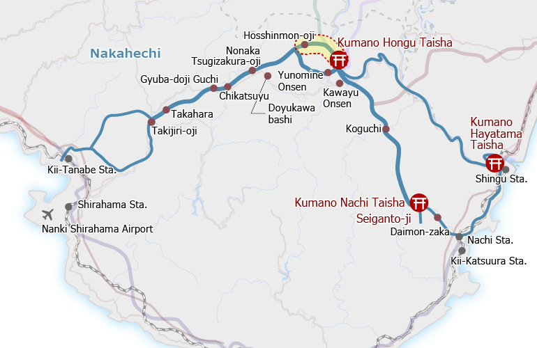
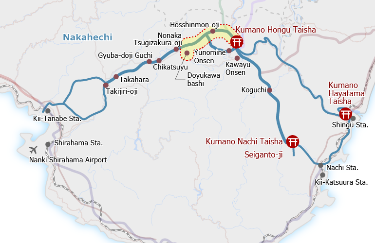
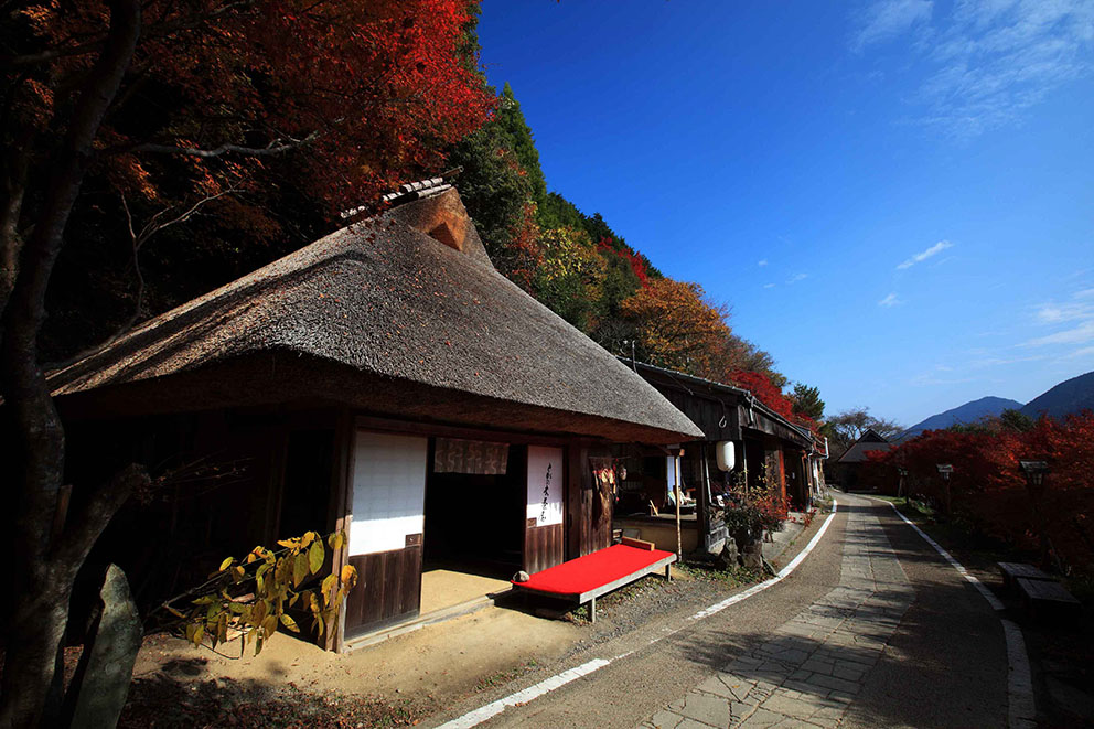
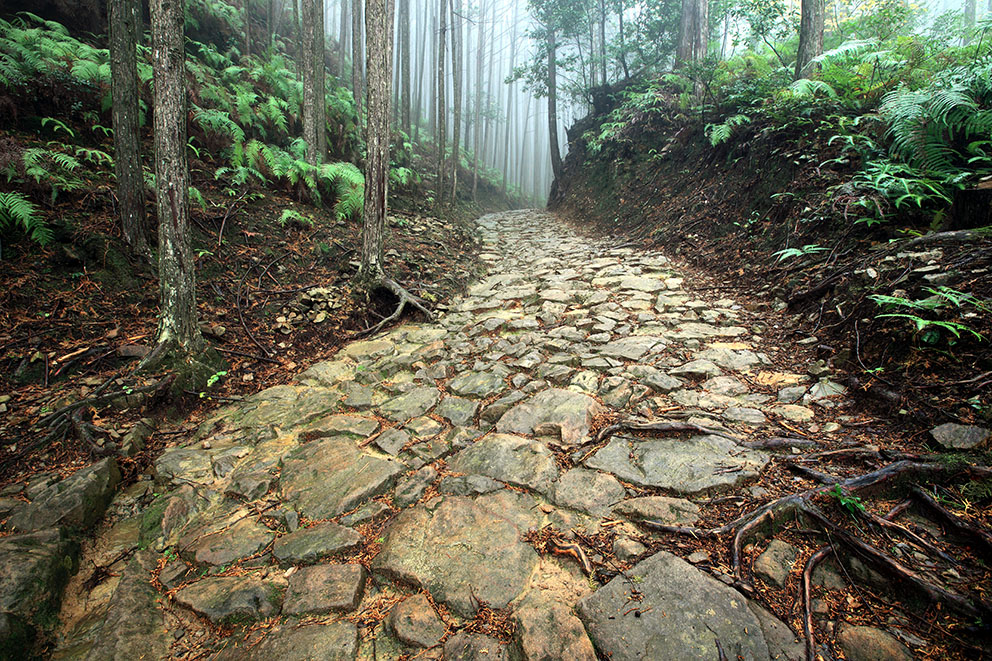
This is a long, full-day hike over varied terrain. The trail is on pavement from Chikatsuyu Village, through the Nonaka area to Kobiro-toge Pass, and then on an unpaved mountain trail to Hosshinmon-oji.
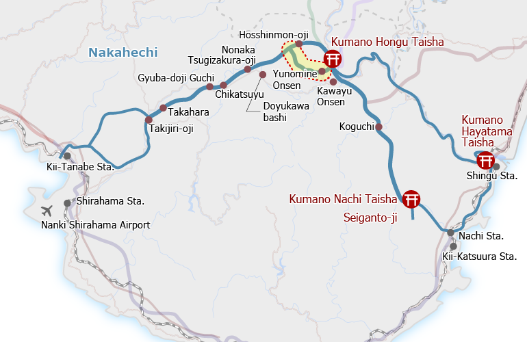
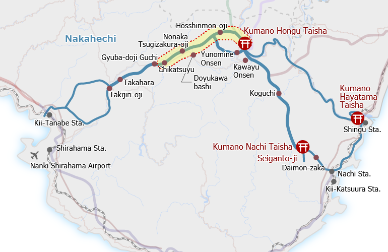
From Hosshinmon-oji to Kumano Hongu Taisha, the trail switches between forest trail and paved road through settled areas.
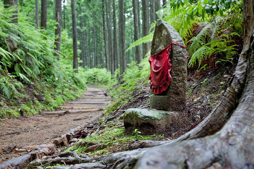
There are no restaurants along the way, so it is best to bring a bag lunch. The creek beside Jagata Jizo and Mikoshi-toge are common lunch stops.
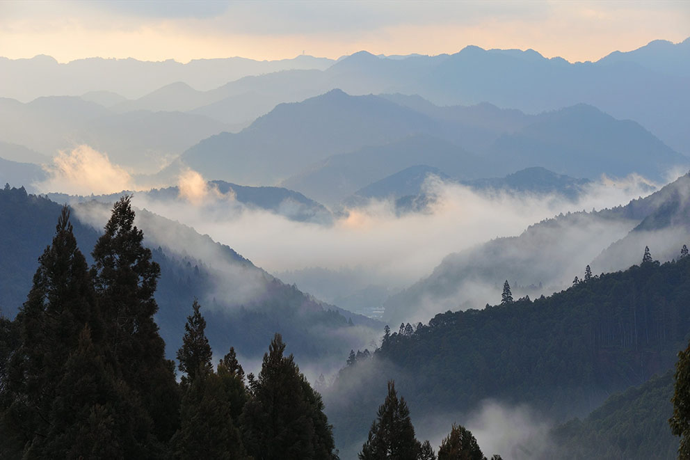
The 7-kilometer section from Hosshinmon-oji to Kumano Hongu Taisha is a very popular half-day walk with views of rural country life, tea fields and scenic landscape.
Course Data
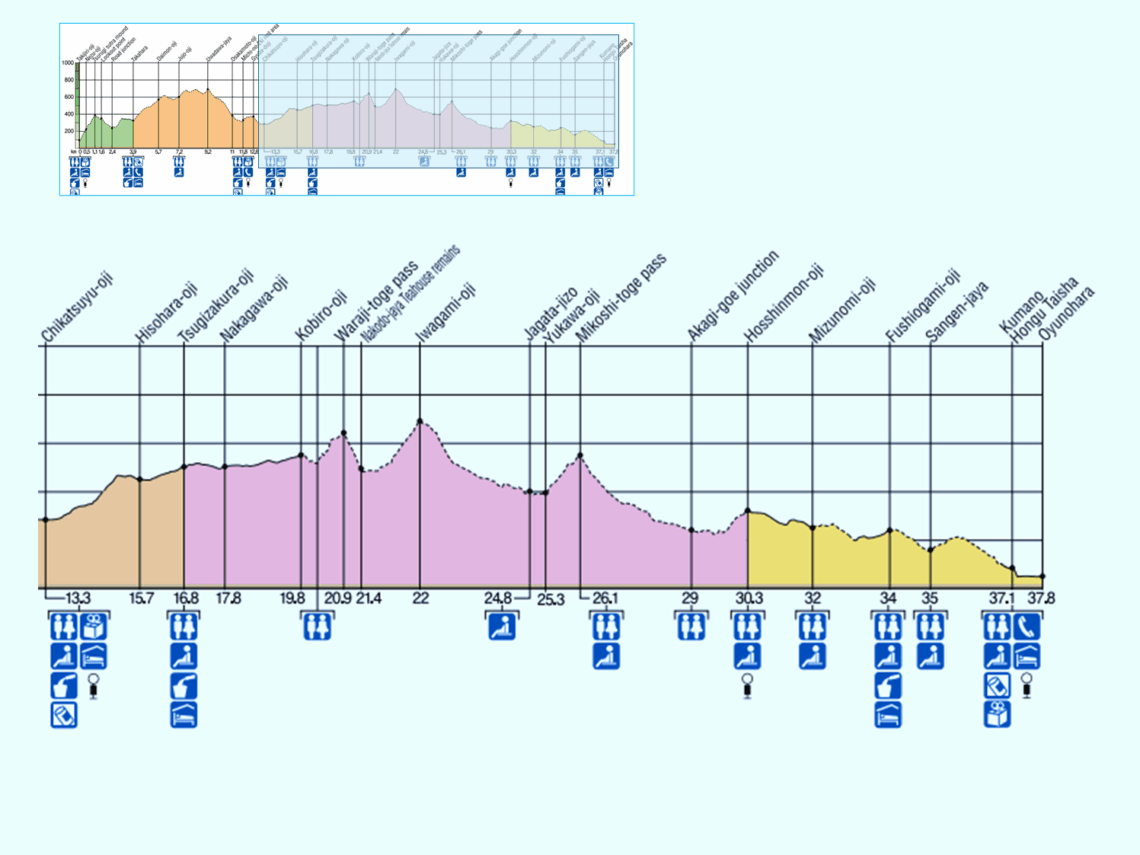
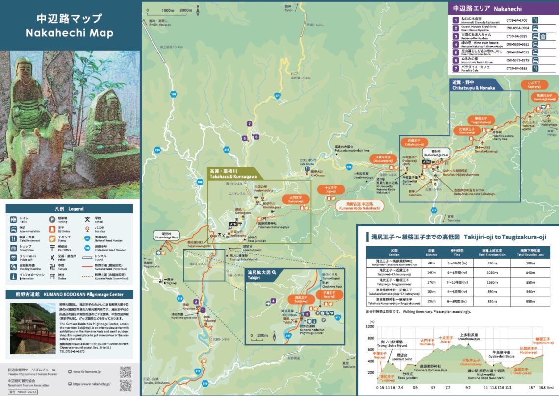
| Distance | ~24.5 km (~14.7 mi) |
| Time | 9~12 hrs ※Walking times vary. Please plan accordingly. |
| Difficulty Rating | 4 What is difficulty rating? |
| Total Elevation Gain | ~1100 m (~3610 ft) |
| Total Elevation Loss | ~1380 m (~4530 ft) |
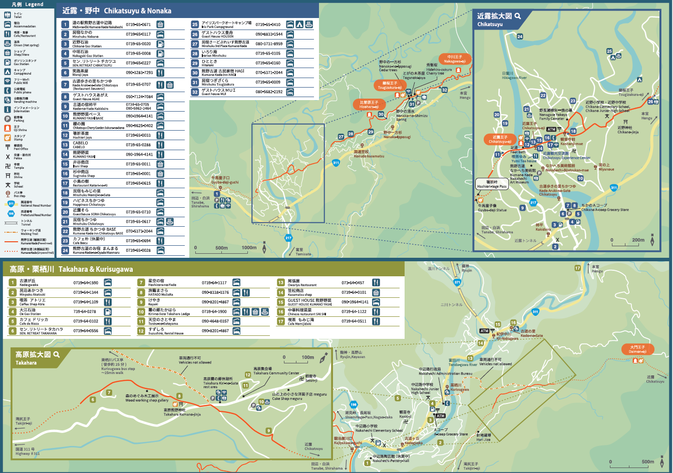
| Access | Buses run from Kii-Tanabe and Shirahama to Nonaka Ipposugi bus stop (~30-min walk to Tsugizakura-oji from the bus stop): Bus Timetable #1 (Eastbound), Bus Timetable #2 (Westbound). The same buses as above also stop at Kumano Hongu Taisha. Buses to/from Shingu stop at Hongu Taisha-mae: Bus Timetable #3 (Northbound), Bus Timetable #4 (Southbound) |
| Nearest Bus Stop | Chikatsuyu-oji, Nakahechi Bijutsukan-mae (Start), Hongu Taisha-mae (Finish) |